Lanner
VillageTR16Truro and Falmouth, St Ives, Camborne and Redruth
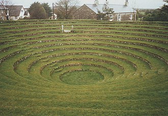
Image may be sourced from Wikimedia Commons. If you know the original attribution, please suggest an edit.
12Listed Buildings
About Lanner
Nestled in west Cornwall, Lanner is a village and civil parish that sits on the A393, about 2 miles (3.2 km) south‑east of Redruth. Part of Cornwall’s TR16 postcode and located in the South West region of England, United Kingdom, Lanner occupies a clear place on the map for visitors exploring this stretch of countryside.
Approach along the A393 and you arrive at a community defined by its location—close to Redruth yet with its own sense of place. The village and civil parish status hints at layers of local life and identity waiting to be discovered, while its position in Cornwall offers the familiar landscape and light of England’s South West. For those mapping an itinerary, Lanner is easily identifiable by its postcode TR16 and its straightforward siting roughly two miles south‑east of Redruth.
Whether you are passing through on the A393 or making a point to include it in a wider Cornish route, Lanner provides a concise and accessible example of village life in west Cornwall.
Read more on Wikipedia →Postcode
TR16
Constituency
Truro and Falmouth, St Ives, Camborne and Redruth
Ward
Redruth Central, Carharrack & St Day, St Agnes, Redruth North, Threemilestone & Chacewater, Crowan, Sithney & Wendron, Lanner, Stithians & Gwennap, Illogan & Portreath, Four Lanes, Beacon & Troon, Perranporth, Redruth South
Listed Buildings
Unnamed
0.6 km
Grade Unknown