Lower Kenneggy
HamletTR20St Ives
Image may be sourced from Wikimedia Commons. If you know the original attribution, please suggest an edit.
2Listed Buildings
About Lower Kenneggy
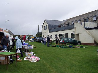
Lower Kenneggy is one half of a quietly distinctive pair of hamlets that make up Kenneggy, resting in the west of the civil parish of Breage in Cornwall. The two settlements sit side by side: Higher Kenneggy to the west and Lower Kennegy to the east. Both lie within postcode district TR20 in the South West region of England, positioned around five miles east of the town of Penzance. For the traveller seeking a simple, slow-paced stop, Lower Kenneggy offers the understated appeal of a Cornish hamlet and a clear sense of place within the wider parish. Its proximity to Penzance makes it an easy detour for those exploring the western reaches of Cornwall, while the neighbouring Higher Kenneggy provides a reminder that some corners of the county are best appreciated in small, neighbouring communities. Whether passing through or pausing to take in the local rhythm, Lower Kenneggy sits quietly at the heart of a modest, twin-settlement identity within Breage.
Read more on Wikipedia →Postcode
TR20
Constituency
St Ives
Ward
Penzance Promenade, Porthleven, Breage & Germoe, Penzance East, St Ives East, Lelant & Carbis Bay, Land's End, St Ives West & Towednack, Long Rock, Marazion & St Erth, Mousehole, Newlyn & St Buryan, Ludgvan, Madron, Gulval & Heamoor