St Hilary
VillageTR20St Ives
Image may be sourced from Wikimedia Commons. If you know the original attribution, please suggest an edit.
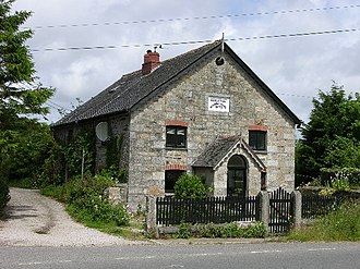
3Listed Buildings
About St Hilary
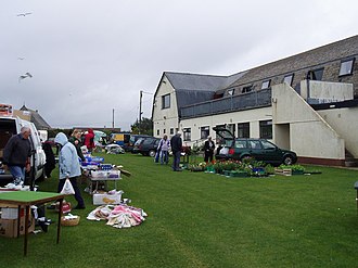
St Hilary is a civil parish and village in west Cornwall, England, United Kingdom. Tucked into the gentle geography of the far southwest, it sits approximately five miles (8 km) east of Penzance and four miles (6.5 km) south of Hayle. That close-knit location places St Hilary within easy reach of its neighbouring towns while allowing it to read as its own place on the map of Cornwall. As a village and parish, St Hilary carries the quiet authority of a named community in the county’s western reaches — a point of calm between two familiar references, Penzance to the west and Hayle to the north. For anyone tracing a route through west Cornwall, St Hilary offers a clear sense of orientation: a distinct settlement whose position is defined by the short distances to those nearby towns. In a region known for its network of towns and villages, St Hilary stands as a simple, rooted presence, a place to note on any thoughtful journey through this corner of England.
Read more on Wikipedia →Postcode
TR20
Constituency
St Ives
Ward
Penzance Promenade, Porthleven, Breage & Germoe, Penzance East, St Ives East, Lelant & Carbis Bay, Land's End, St Ives West & Towednack, Long Rock, Marazion & St Erth, Mousehole, Newlyn & St Buryan, Ludgvan, Madron, Gulval & Heamoor