Trelew
VillageTR11Truro and Falmouth, St Ives, Camborne and Redruth
Image may be sourced from Wikimedia Commons. If you know the original attribution, please suggest an edit.
5Listed Buildings
About Trelew
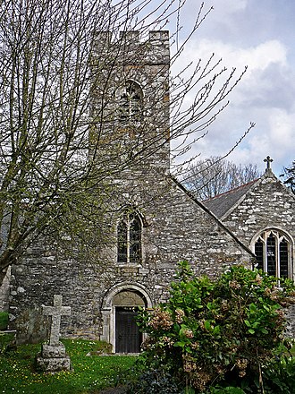
Trelew is a hamlet in the civil parish of Mylor, tucked into the south shore of the tidal Mylor Creek in south west Cornwall. Situated between the neighbouring villages of Mylor Bridge and Mylor Churchtown, it sits just two miles (3.2 km) north of Falmouth and two miles east of Penryn, at grid reference SW 811 352. The creek is an inlet on the west side of the Carrick Roads, and Trelew’s waterside position gives the settlement a quietly maritime air. Its modest scale and close proximity to larger coastal towns make it an appealing spot for anyone seeking a peaceful Cornish setting while remaining within easy reach of Falmouth and Penryn. Whether noticed from the water or as part of a shoreline ramble, Trelew offers a compact, evocative glimpse of creekside life in this part of Cornwall.
Read more on Wikipedia →Postcode
TR11
Constituency
Truro and Falmouth, St Ives, Camborne and Redruth
Ward
Mylor, Perranarworthal & Ponsanooth, Falmouth Arwenack, Falmouth Boslowick, Falmouth Trescobeas & Budock, Helston South & Meneage, Penryn, Falmouth Penwerris, Constantine, Mabe & Mawnan