Higher Ninnis
HamletTR16Truro and Falmouth, St Ives, Camborne and Redruth
Image may be sourced from Wikimedia Commons. If you know the original attribution, please suggest an edit.
2Listed Buildings
About Higher Ninnis
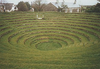
Busveal is a mining settlement in west Cornwall, United Kingdom. Located approximately one mile east of Redruth, it lies within the civil parish of St Day. The settlement’s classification as a mining community points to the industrial threads woven through this corner of Cornwall, a reminder of the region’s working past. Positioned close to Redruth, Busveal sits quietly amid the network of parishes and hamlets that characterise west Cornwall. Its simple facts—mining settlement, west Cornwall location, one mile east of Redruth, in the parish of St Day—offer a clear starting point for anyone mapping the county’s industrial geography. For visitors tracing Cornwall’s mining heritage or exploring the settlements around Redruth, Busveal represents a concise, authentic note in the county’s story: a place defined by its roots and its place within the parish landscape of St Day. Though small in description, Busveal connects directly to the wider narrative of Cornwall’s past and the communities that grew up around its industry.
Read more on Wikipedia →Postcode
TR16
Constituency
Truro and Falmouth, St Ives, Camborne and Redruth
Ward
Redruth Central, Carharrack & St Day, St Agnes, Redruth North, Threemilestone & Chacewater, Crowan, Sithney & Wendron, Lanner, Stithians & Gwennap, Illogan & Portreath, Four Lanes, Beacon & Troon, Perranporth, Redruth South