Tolcarne
Suburban AreaTR16Truro and Falmouth, St Ives, Camborne and Redruth
4Listed Buildings
About Tolcarne
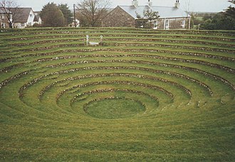
Tolgullow is a small, unassuming hamlet set just outside St Day in west Cornwall, England, United Kingdom. Poised along the B3298 road to Gwennap, it presents the sort of quiet, roadside charm that rewards a slow, attentive drive through Cornwall’s lanes. Though modest in size, Tolgullow’s location makes it an appealing brief diversion for those exploring the surrounding villages and countryside—an invitation to pause, take in the view and imagine local life beyond the map. Its proximity to St Day offers an easy reference point for visitors, while the B3298 links the hamlet into the broader coastal and inland routes of west Cornwall. Tolgullow is the kind of place that speaks to the quieter rhythms of the region: simple, close to the road and quietly rooted in its Cornish setting. For travellers tracing the lanes toward Gwennap or seeking a momentary escape from busier sights, a stop in Tolgullow feels like a small, authentic breath of Cornwall.
Read more on Wikipedia →Postcode
TR16
Constituency
Truro and Falmouth, St Ives, Camborne and Redruth
Ward
Redruth Central, Carharrack & St Day, St Agnes, Redruth North, Threemilestone & Chacewater, Crowan, Sithney & Wendron, Lanner, Stithians & Gwennap, Illogan & Portreath, Four Lanes, Beacon & Troon, Perranporth, Redruth South