Whitemoor
VillagePL26Truro and Falmouth, North Cornwall, St Austell and Newquay
Image may be sourced from Wikimedia Commons. If you know the original attribution, please suggest an edit.
About Whitemoor
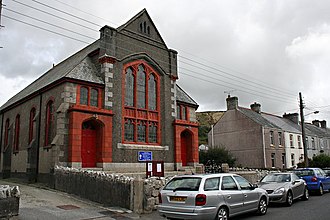
Whitemoor sits within the civil parish of St Stephen-in-Brannel in mid Cornwall, England. This compact village, set in the heart of the South West, offers a quietly Cornish pocket of everyday life. Located northeast of Nanpean and within the PL26 postcode district, Whitemoor serves as a modest waypoint for those exploring the lanes and settlements of Cornwall. Its position in St Stephen-in-Brannel ties it to the wider community of mid Cornwall, where parish identity and local rhythms shape the landscape. Visitors passing through will find a place that speaks of the county’s quieter corners, a village that’s unmistakably part of Cornwall’s fabric. Whitemoor’s unassuming presence across maps and signposts invites curiosity: a name to note when planning travel around the South West, a starting point for discovering neighbouring villages and parishes. For travellers seeking the feel of everyday Cornish village life in mid Cornwall, Whitemoor offers a gentle, genuine snapshot.
Read more on Wikipedia →Postcode
PL26
Constituency
Truro and Falmouth, North Cornwall, St Austell and Newquay
Ward
Roche & Bugle, St Goran, Tregony & the Roseland, St Austell Bethel & Holmbush, Penwithick & Boscoppa, Mevagissey & St Austell Bay, Lanivet, Blisland & Bodmin St Lawrence, St Mewan & Grampound, St Stephen-in-Brannel, St Dennis & St Enoder